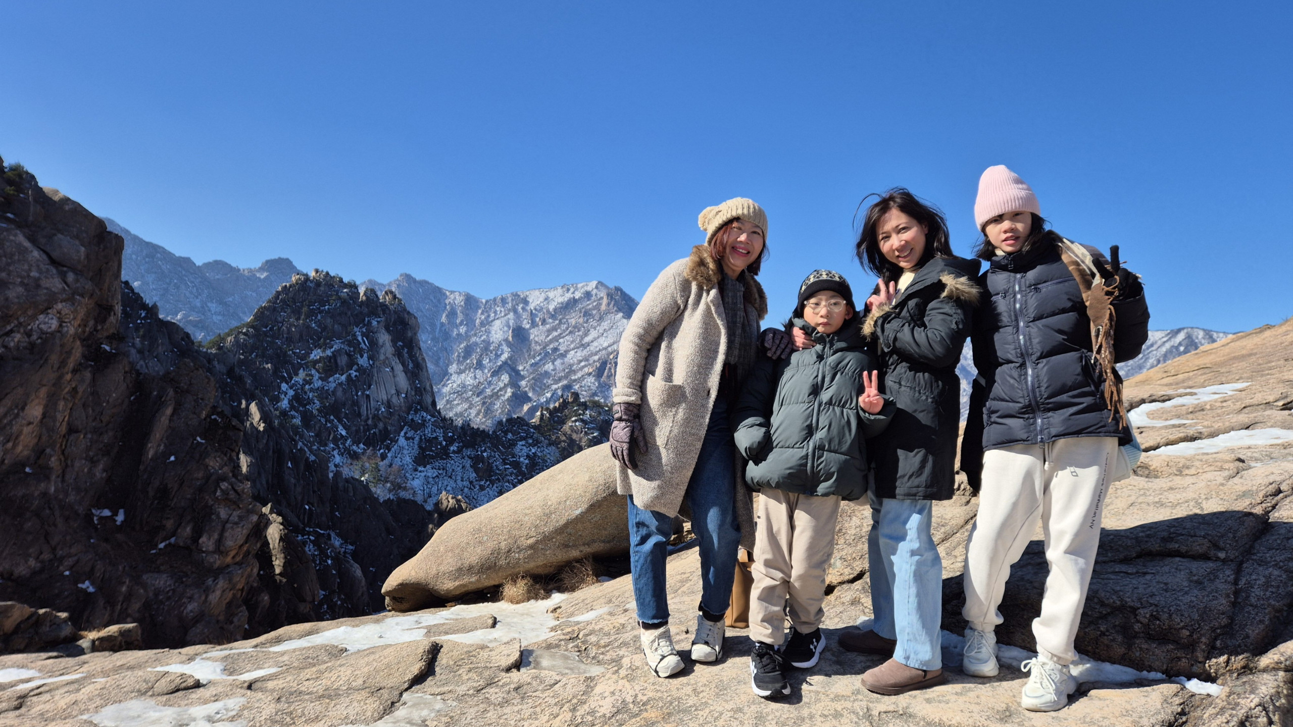
Seoul is ringed by mountains and several of them have a subway station at the bottom. That is the part visitors miss. You do not need a tour, a car, or a spare day: you need a morning and a metro card.
The second thing worth knowing is that the city will lend you the equipment.
The gear problem, already solved
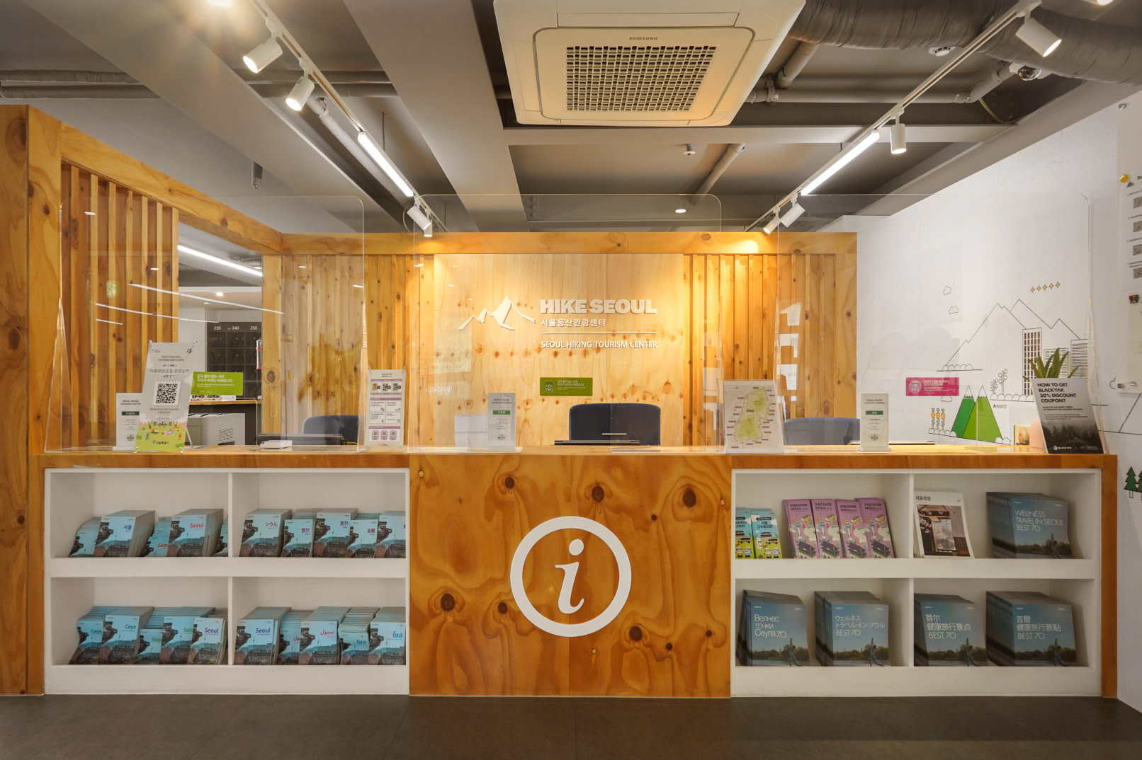
Nobody packs hiking boots for a city holiday. Seoul knows this, so it runs hiking centres that lend the kit to foreign visitors: boots, hiking clothes, trekking poles, gloves, and crampons in winter. If you are Korean and bringing a visiting friend, you can borrow a set too.
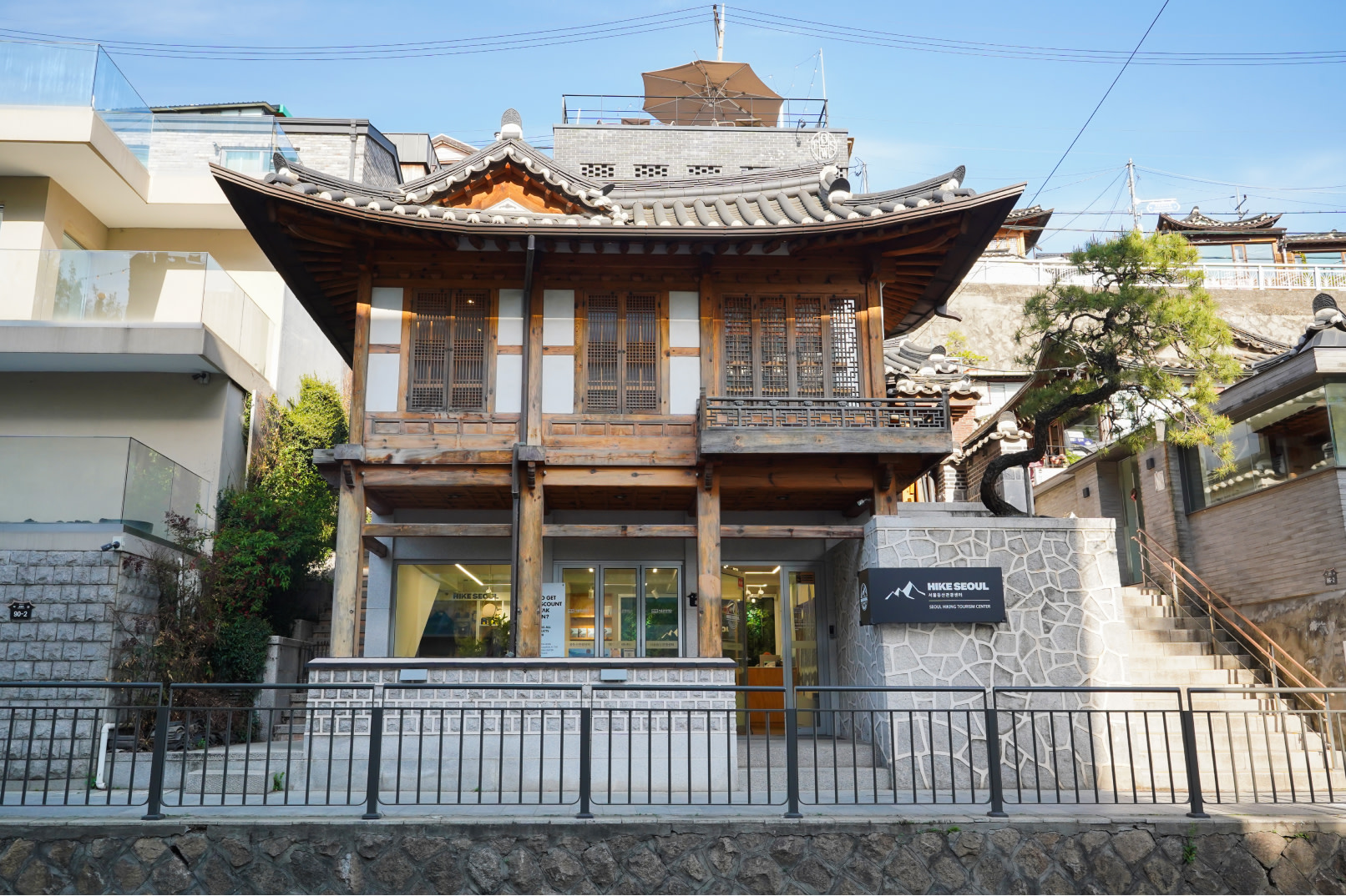
There are three, one at the foot of each mountain, and they keep different rest days:
| Centre | Open | Closed |
|---|---|---|
| Bukhansan — 5 minutes from Bukhansan Ui Station, exit 2 | 09:00–18:00 | Mondays |
| Bugaksan — on Samcheong-ro, in Samcheong-dong | 09:00–18:00 | Tuesdays |
| Gwanaksan | 09:00–18:00 | Wednesdays |
They also give course advice in English, Japanese and Chinese, hand out maps, and run guided hikes for foreign visitors most weeks. Rentals are booked ahead rather than walked in, so sort it the night before.
In 2026 all three also close on 1 January, 17 February for Seollal and 25 September for Chuseok. Our Chuseok guide covers what else shuts that week.
Pick the mountain that matches your morning
Inwangsan is the one to start with. It is 338 metres of rock on the north-west side of the centre, with the old city wall running up its spine, and the summit looks straight back over Gyeongbokgung Palace toward Namsan. Take line 3 to Gyeongbokgung or Dongnimmun. Two hours covers it comfortably, nearer two and a half if you keep stopping for photographs, which you will.
Achasan is the gentler option, 295 metres above the Han River in the east, reached from Achasan or Gwangnaru on line 5. The trails are well kept and genuinely beginner-friendly. It is a favourite in autumn for the colour.
Gwanaksan at 632 metres is where it stops being a walk. Rocky peaks, deep valleys, and a Seoul institution since it became a city park in 1968.
Bukhansan is the big one, a national park since 1983 covering 80.7 square kilometres, with Baegundae at 835.6 metres and the granite dome of Insubong beside it. This is a day, not a morning.
The weeks you cannot go
This is the detail that wrecks plans, and almost no English guide mentions it.
Korea closes mountain trails during fire season. The autumn ban runs 1 November to 15 December, and it is not a token gesture: around 5,833 kilometres of trail nationwide shut, because most forest fires start with people. The spring closure in 2026 ran from 15 February to 15 May for national park trails.
The dates move, and they have been extended mid-season before. Before you commit a day to Bukhansan, check the national park service at knps.or.kr. City peaks like Inwangsan and Achasan are open around the clock and are less affected, which makes them the safe pick in a closure window.
Bugaksan keeps gate hours instead, and they shift through the year: 07:00 to 18:00 in spring and early autumn, 07:00 to 19:00 from May to August, and 09:00 to 17:00 in the depth of winter.
The rule that no longer applies
Guides written a few years ago tell you to bring your passport for Bugaksan, because it sits behind the presidential compound and used to be a controlled area.
That stopped being true. The identification check ended in April 2019, and Seoul lifted the last climbing restriction on both Bugaksan and Inwangsan on 22 July 2024. You can walk up like any other hill now.
What locals do that visitors do not
They dress for it. Full kit on a 300-metre hill looks like overpreparation to an outsider, and then you meet the granite scrambles near the top of Inwangsan and understand the boots.
They go early. A clear Saturday morning is the busy slot, and the trail thins out by lunchtime.
They treat it as social. Hiking here is something you do with people and then eat afterwards, which is why the streets around the trailheads fill up with restaurants rather than with anything aimed at hikers specifically.
And they use Naver Map for the approach, not Google, for the same reason Google Maps gives you no directions in Korea.
Water is the one thing to carry up. There is no shop at the top of any of these.